


Return to : Home
|
| Race Point Lighthouse |
|
| A close-up of the lighthouse - walking north from Race Point it is hidden until you turn the corner at the northernmost point of the outer beach - and the suddenly you are there |
|
| The lighthouse entrance |
|
| This water remains in a deep pit on the beach just in front of the lighthouse. At high tide water will rush over and completely fill it. |
|
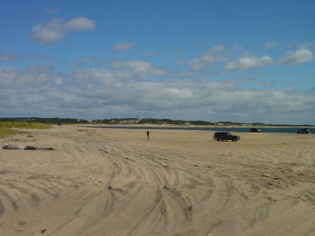
| Looking toward Hatches Harbor and you can see the PTown Monument in the background. |
|
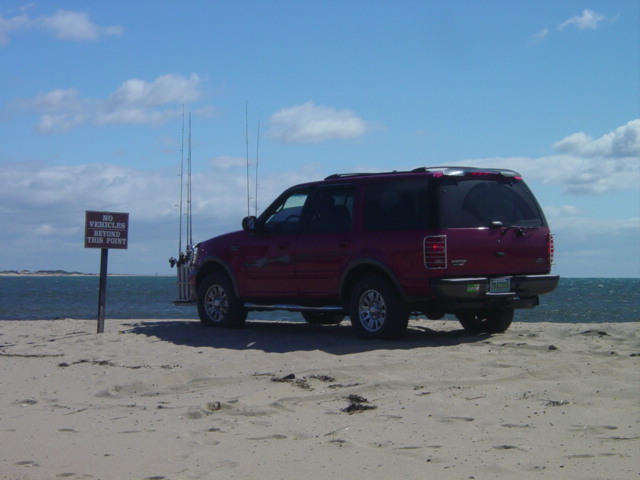
| Taking it to the limit. |
|
| This is the view toward Herring Cove - next month's destination. |
|
| Flora |
|
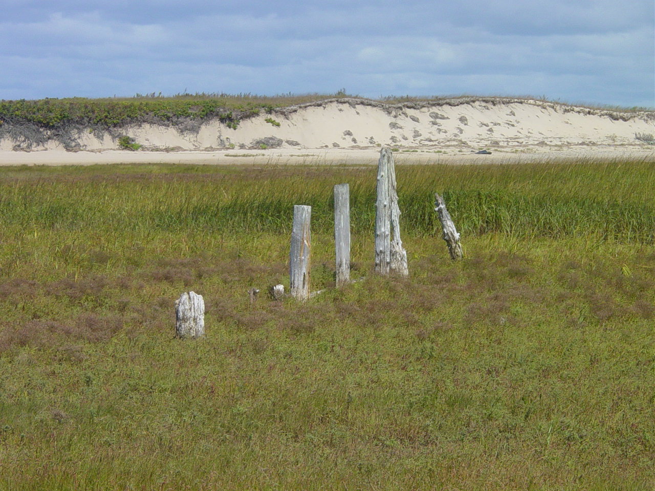
| Remnants of a structure in Hatches Harbor. We are about to cut across an area that will be covered in water within the hour. |
|
| We jumped this trench that is quickly filling with water as the tide rises. We are leaving the lighthouse behind. |
|
| The water is filling the marsh. |
|
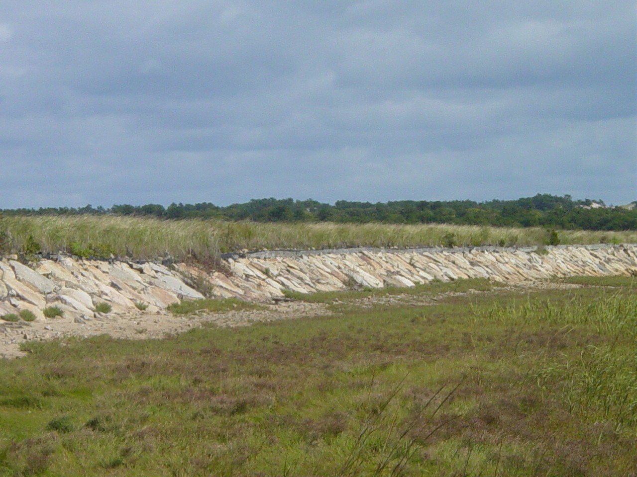
| We reached the dike that slows water from reaching the upper reaches of Hatches Harbor. The dike was built in 1930 and the PTown Airport is on land that was once tidal. Now the National Seashore is slowly increasing water flow into the upper reaches to reclaim salt marsh. About five years ago Ethan was involved in the baseline study to determine the animal life in the upper reaches. Future studies will show the changes that occur during reclamation. |
|
| This is the road over the dike. We chose this path rather than return along the beach (where wind was whipping at 25MPH) or the sand trail from Race Point to the lighthouse. It was a long trip back including wooded paths, road, and bike trail - but we got to see many areas we had never explored. |
|
| Flora |
|
| Looking back toward Race Point Light from the dike. |
|
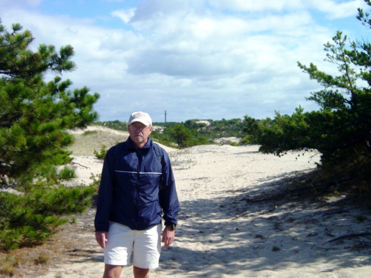
| Our last three walks have pointed out something I had never thought about. The PTown Monument pops up at the most unlikely times. You can be walking the outer beach and climb to a dune top and there it is. Or as in this case, you can be walking through wooded dunes and at a small clearing you find a clear view. |