March
6, 2004
Nauset Light Beach, Eastham to LeCount Hollow Beach, Wellfleet
4.5 miles
|
| March was
a learning experience. I would have liked to walk at low tide on a bright
sunny day. But the timing wasn’t right. So instead Arlene and I forged
off at Noon on Saturday, dressed warm for protection against the cool, cloudy
weather and not sure if an hour after high tide was going to present problems. |
 |
 |
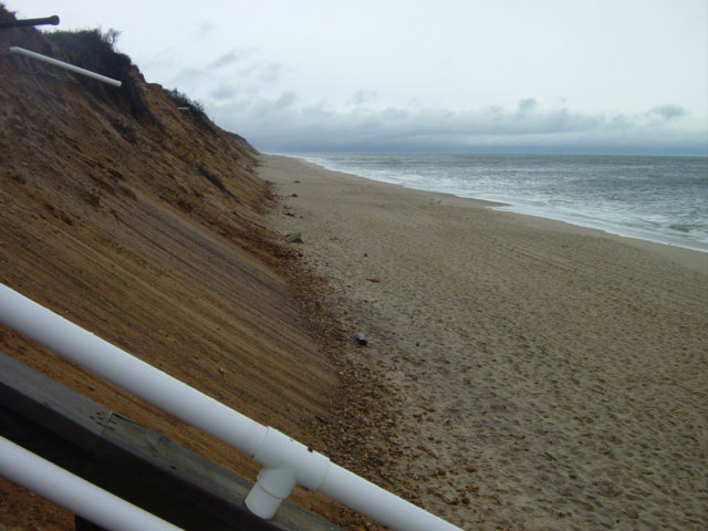
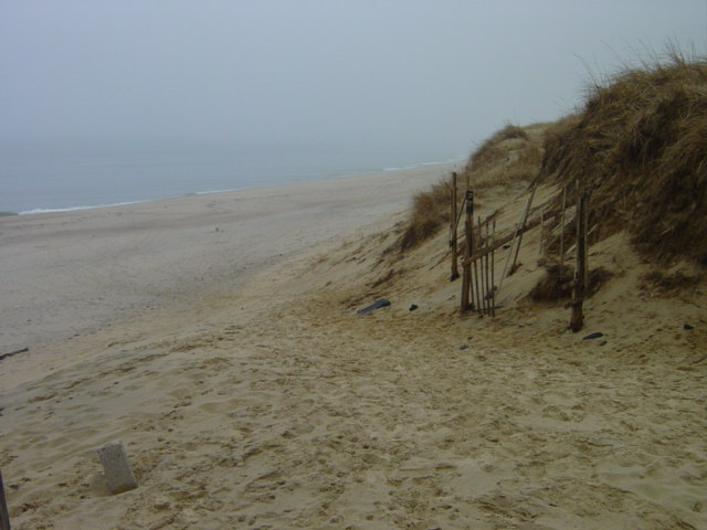
The
start at Nauset Light Beach |
Old
pipes exposed by erosion. |
I had
predicted a two and a half-hour walk. But with little to see along the
tide line and the wind mostly at our back, we were only out for two hours.
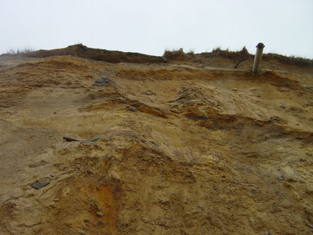
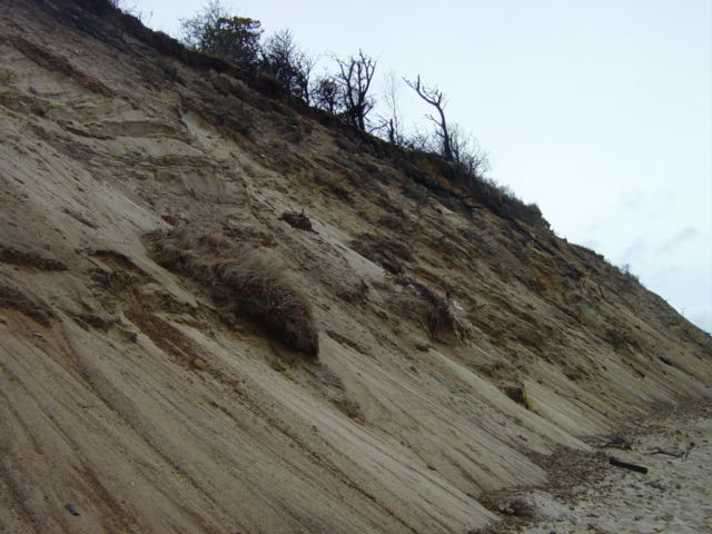
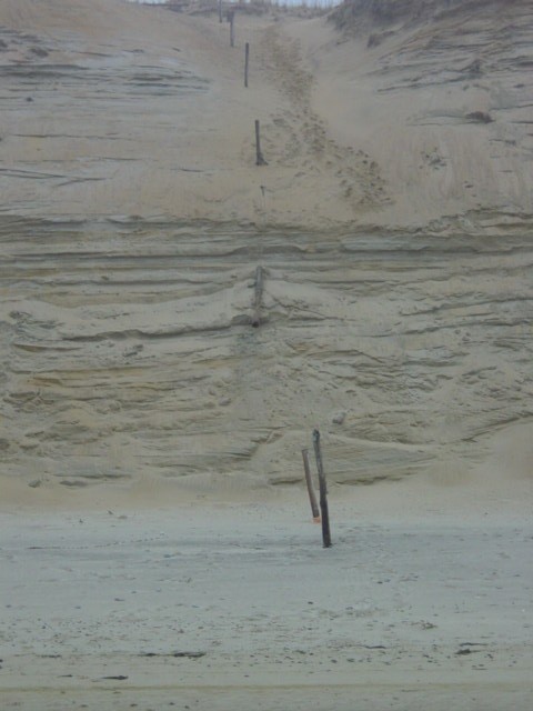
The dune face changed dramatically from Eastham to Wellfleet. The first
mile along Eastham has residences close to the crest of the dune. Although
they couldn’t be seen from the beach we could occasionally spy signs
of civilization poking out of the dune (posts, cinderblocks, wires, pipes)
and a few times telephone poles sat precariously close to the edge. For
the next three miles there would sometimes be spots where paths come out
to the top of a dune. The more agile of local beach-goers from area homes
make the steep climb down. But this winter’s erosion has taken a
toll and it remains to be seen whether it will be possible this summer.
There was no way to climb up the steep face left by winter storms and
on the upper edge there was often a lip of soil perched and ready to let
go. Arlene checked out the one climbable spot and at the top was only
a path that disappeared into the woods.
|
 |
 |
Telephone
poles near the edge |
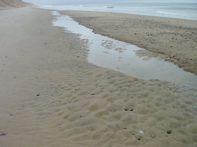
The
tide recedes |
| The wooded
rim of the dune was a trait that didn’t continue very far into Wellfleet.
So during the Eastham walk you could look up at scrub oak hanging onto the
edge, and in many locations the losers of the fight against erosion and
gravity would be partway down on their fall to the beach. Whereas Wellfleet’s
dune faces were more pristine. There would be a few patches of dune grass
that had finally let go and made the plunge, but for the most part it was
nothing but fine sand. Sometimes it would be a smooth face all the way from
crest to base. At other times there would be distinct horizontal banding,
the sand having been placed down in layers. |
 |
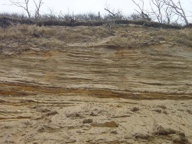 |
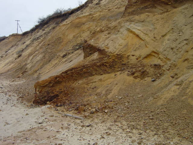
Eastham
erosion |
Striated
dune |
| This is
a good time to mention the weather. We had watched the rain all morning
contemplating whether to walk today or put it off until the more favorable
forecast of Sunday. There was actually some clear sky as we set off down
the beach but within ten minutes there was a dark wall forming ahead of
us. Though it looked ominous for the start of what would be a long walk,
it turned out to be mostly fog. The temperature dropped 10 degrees (from
about 50 to 40) the instant we hit the fog, but it wasn’t unpleasant
– we just had to keep hats on. The remainder of our walk was in varying
degrees of clouds and fog. |
 |
Bad
weather moves towards us. |
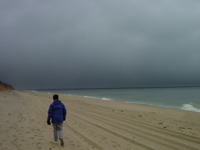 |
But
it turns out to be mostly fog |
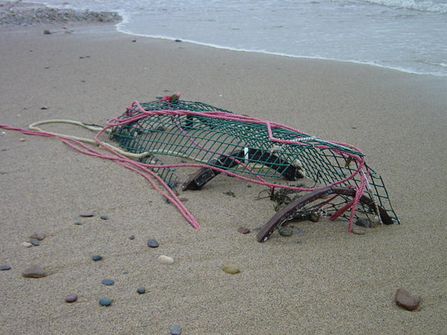
| The wrack
line was filled with shells, seaweed and a surprisingly small amount of
human debris. A few Bic lighters were twisted among the weeds. Pieces of
rope, plastic, wood and lobster traps were the most common debris. There
were four lobster traps along the wash-line, nearly complete and half-buried
in the sand. Whenever someone buys a lobster they are helping to pay for
the hundreds of traps that suffer this fate each year. |
 |
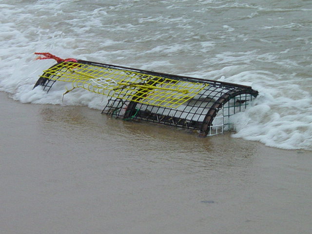 |
Partially
buried lobster traps are a common sight this time of year |
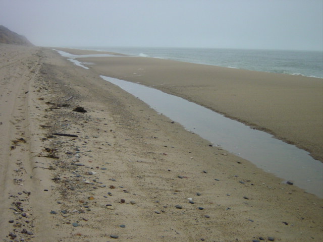
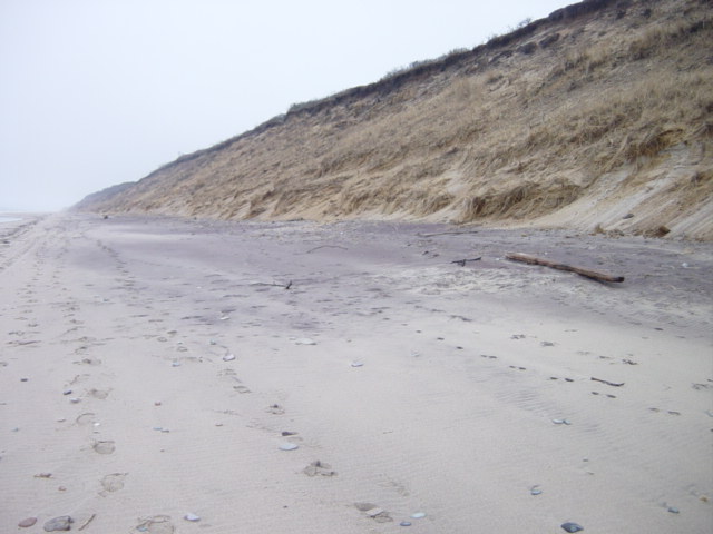
| At times
there would be a small sand bar high on the beach with a line of water held
behind. At a few points I could jump onto the sand bar without getting my
feet wet and walk for a short distance – slightly removed from the
main beach. But since the tide was still high I was always in danger of
getting caught by an over-wash. |
 |
 |
These
bars will reform off shore during the summer |
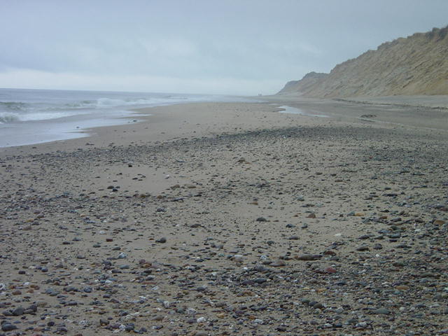
| Small breaks
in the vast stretch of sand would be large fields of small rocks, the kind
that keep bored beach-goers busy looking for just the right stone. As always,
I chose a few along the way and suffered the usual disappointment when the
dried stone didn’t carry the same luster as when wet. |
 |
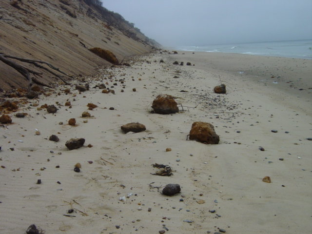 |
A
random patch of stones |
Clumps
of dirt that have rolled down the dune onto the beach |
| By a mile
from Nauset Light Beach all other footsteps disappeared and would not reappear
until very close to Marconi Beach (the three-mile point). I found deer tracks
on the beach for the first time. I didn’t find where they got on and
off the beach but the tracks weren’t visible for very long. |
 |
|
Dog
and human tracks reappeared as we approached Marconi Beach. Two different
maps including the National Geologic Survey map showed this to be a distance
of three miles but it only took an hour to cover. This leads me to believe
that the distance was wrong. But the lack of side trips, and the sweatty
effort of keeping up with a fast walker might have made the difference.
|
 |
A
little more human traffic near the beach entrances |
| Arlene
and I walked up the Marconi steps to the bench where we shared a “Brown
Derby” sandwich from Sam’s Deli and a bottle of water. This
took less than 10 minutes and during that time we met the first two people
we had seen since descending the steps at Nauset Light Beach. We would not
meet anyone else until arriving at LeCount Hollow. Even birds were sparsely
spread along the way. |
 |
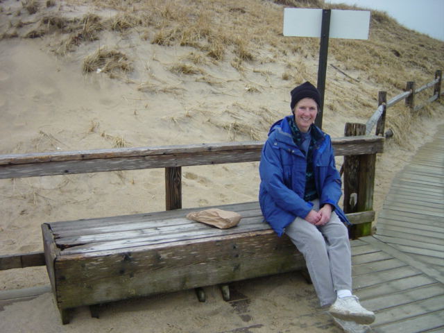 |
The
stairs at Marconi Beach come into view |
Arlene
and I stop for lunch |
|
The
trip from Marconi to LeCounts was a little slower paced and pleasant.
We almost missed the Marconi Station Site. That is the site where the
first transatlantic message was sent (although I’ve heard there
is a spot in Nova Scocia that makes the same claim). There was much less
debris on the dune face and beach than the last time I was there. It is
much further between the beach and site than seems possible, but it took
nearly fourty minutes for that stretch. Along the last stretch from the
site to LeCounts was a relaxed walk on a desolate beach. At low tide I’ve
seen the remains of a boat, but there was none to be seen on this trip.
This is also in the area where Camp Wellfleet practiced with various types
of guns. In fact just a few days before this walk the road to the beach
was closed as a large inert bomb was blown up by an ordinance crew. Most
of the shells have long since been discovered or buried at sea.
|
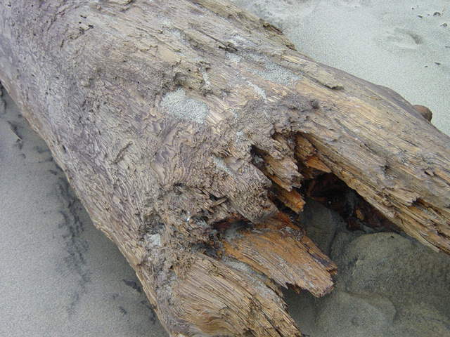 |
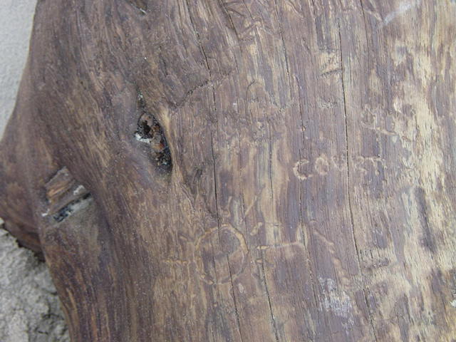 |
A
large log that has been marked by passers-by |
| And it
is tough to walk this stretch without thinking about the pirate ship –
the Whydah – that sank just off shore and was discovered by Barry
Clifford. Remnants of his off shore excavation including cannon, the ship’s
bell and thousands of coins can be seen in his Provincetown
Museum. This summer I’ll be checking it out at low tide looking
for dabloons or sand dollars, unexpended ordinance or ship’s hulls. |
| |
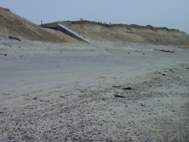
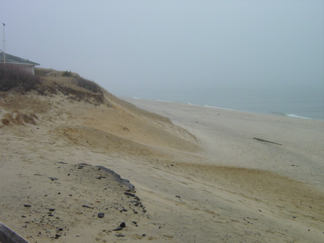
| The path
up the dunes to Cardinal’s Cottages (just South of LeCount’s)
was virtually unrecognizable. I almost missed it. Summer renters are going
to find their walk down to the beach even harder than last year. |
 |
Before
we knew it we were coming up on LeCount Hollow. |
 |
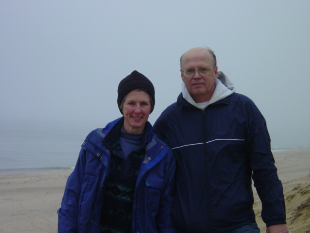 |
The
view from LeCount Hollow looking back where we came from |
Arlene
and Dwight at the finish of month #3 |
| Next month
is a little bit of old-hat for us. It is the walk from LeCount Hollow to
Newcombe Hollow. We’ve walked every inch of this stretch of beach
many times but never all at once. Come join us either on foot or on this
web-site. |
 |
Next
month's hike heads off toward Newcombe Hollow |