May
30, 2004

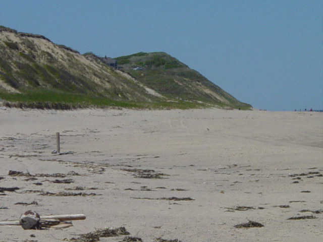
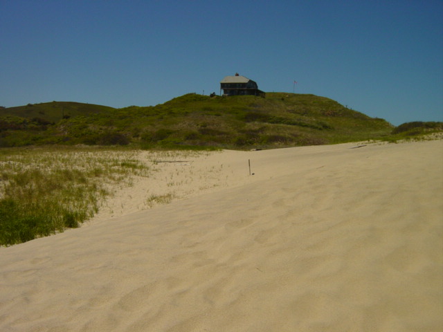
Finally a dip appears in the dune - and houses appear. This is a sure sign that we are close to the end of the walk - Ballston Beach.
Return to : Home CapeBound Beach Walk
May
30, 2004 |
||||
|
||||
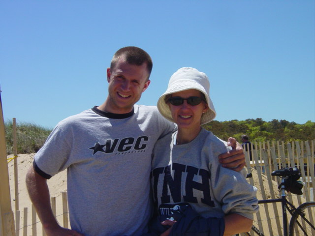
| Ethan sees Arlene off at Newcomb Hollow parking lot. It was our last possible day to get in a beach walk this month. The weather was great except for a strong wind in our face that sometimes pelted us with sand. Toward the end of the walk my eyes would be watering from the constant grit. | ||||
|
||||
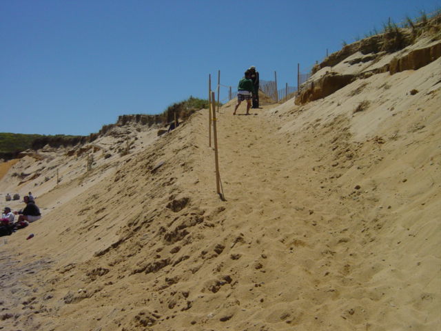
| This is the reconstructed beach access at Newcombe Hollow. Sand was brought in and shaped to make a path to the beach. | ||||
|
||||
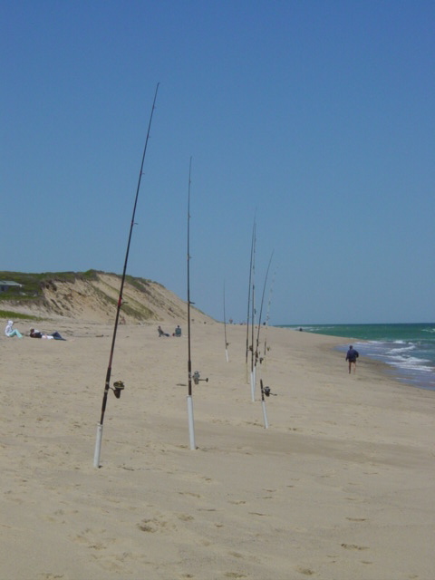
| With the spring migration of striped bass, the beaches become full with hopeful casters. Although this is a traditionally good place to fish, I didn't see anyone having any luck. | ||||
|
||||
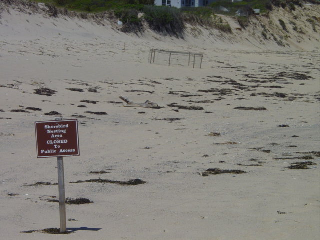
| Spring also means the nesting of shore birds. This net in the background protects a nest. With beach access by RV's totally prohibited in this area, the traditional struggle between preservationists, ecologists and beach access proponents. This area was once a popular 4-wheeling spot. Fishermen in particular would cover the entire stretch of my 12-month walk. Now the only signs of motor vehicles are the tire tracks of National Seashore Rangers or lifeguarding ATV's. | ||||
|
||||
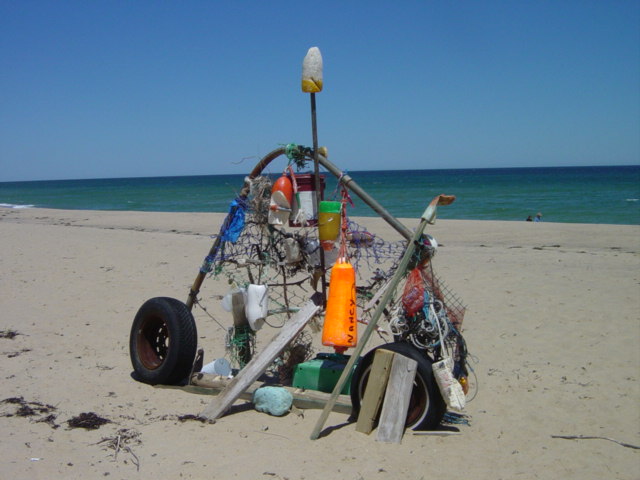
| Increased beach use leads to more examples of beach art. This one north of Newcombe has shown up in other photos but has taken on greater baggage of late. | ||||
|
||||
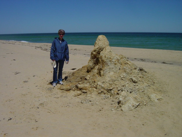
| This is all that remains of the monolyth that dominated the beach during the winter. Less than six months ago it was over 14' tall and 25' around. | ||||
|
||||
| Notice the ridge in the dune that forebodes a sand slide. Especially this time of year tourists like to put their blankets at the base of the dune for protection from the wind. It puts them in harms way! | ||||
|
||||
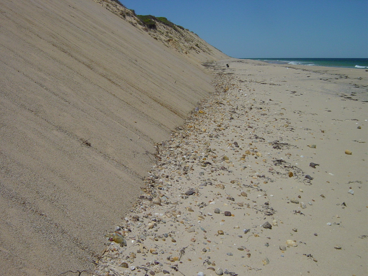
| Slides calve rocks to the surface which then roll down and deposit at the base of the cliffs. Some of these rocks can roll over 20' out onto the beach leaving tracks along the sand. | ||||
|
||||
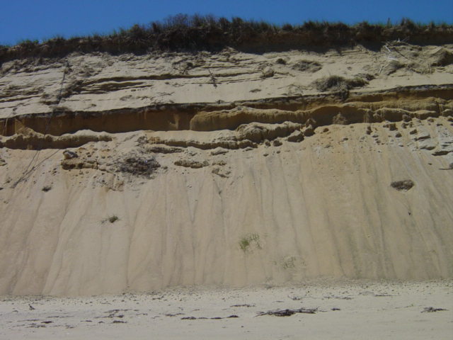
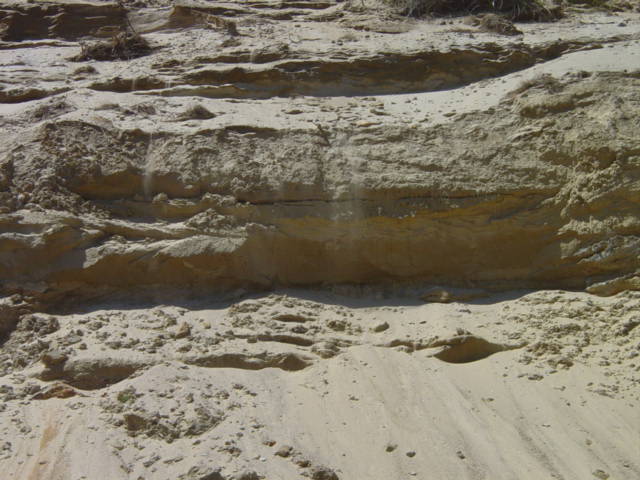
| Notice the dust blowing off this exposed ridge. Not only does wave action undermine the dune, but wind action constantly reshapes the face. | ||||
|
||||
| With nothing but tall dunes ahead. This is in an area known surprisingly as "High Dune". | ||||
|
||||
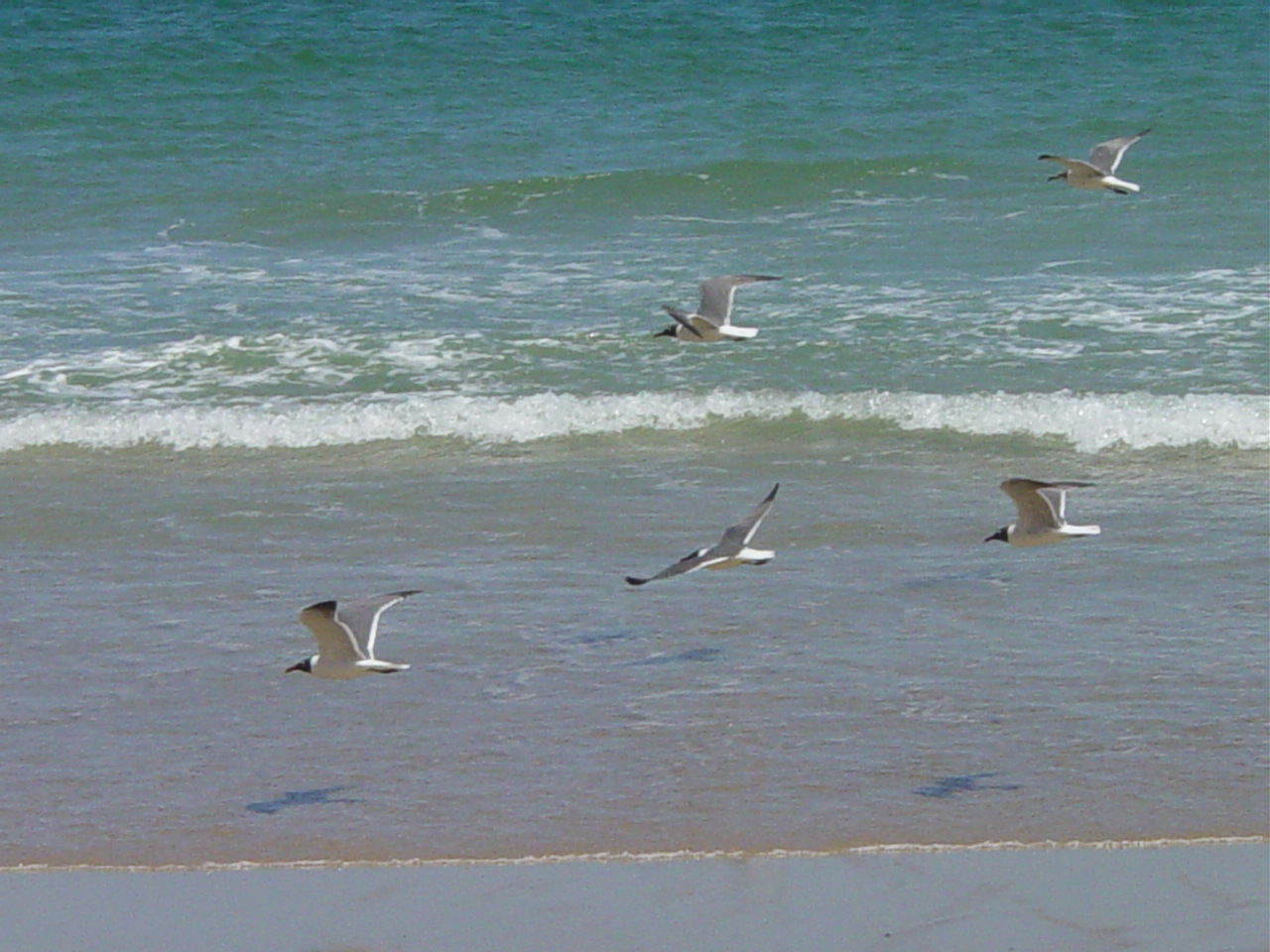
| Shore birds follow the water's edge. They will land further down the beach on exposed sand bars or be seen diving for bait fish - a sign that larger gamefish are nearby. | ||||
|
||||
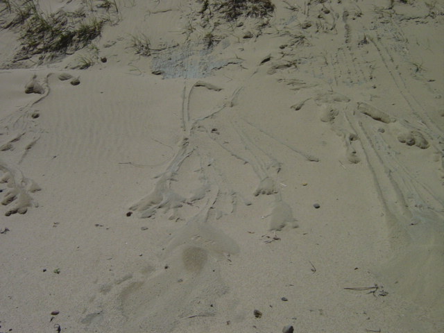
| Here are designs in the dune caused by rain washing clay down the face. | ||||
|
||||
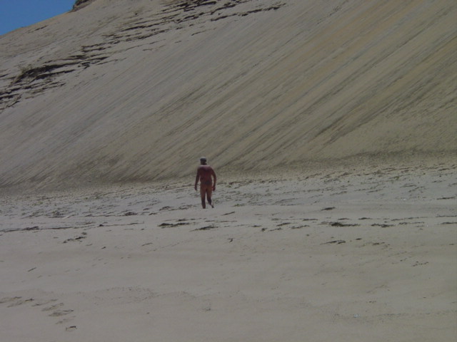
| Although the beaches were crowded near the access point, this is the first person we met in nearly an hour. I suppose he was hoping to have the beach to himself. | ||||
|
|
|
|
|
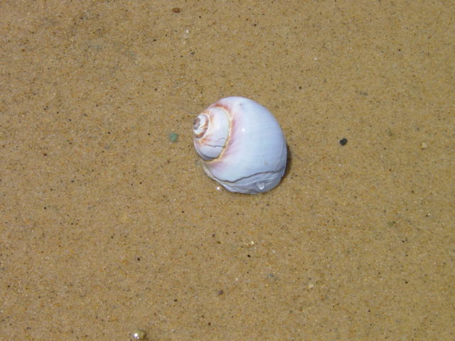
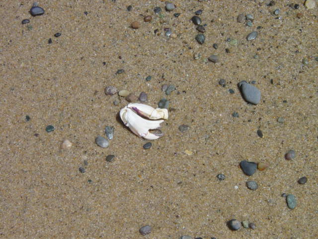
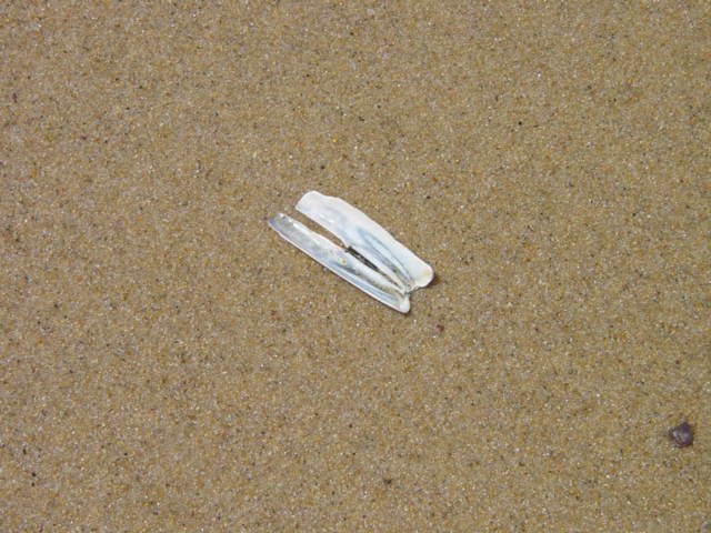
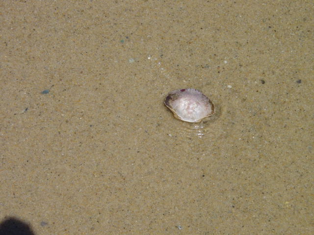
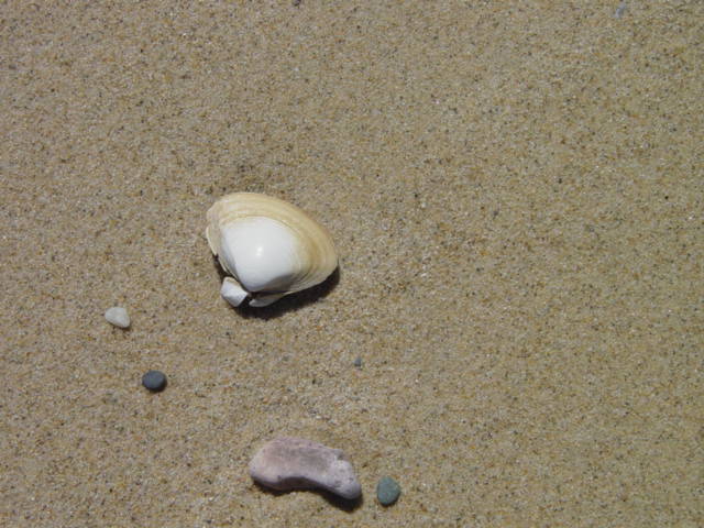
| Some signs of sea-life along waters edge. These were all found in a 10' circle. From left : moonsnail, creb claw, razor clam shell, crab shell and sea clam shell. | ||||
|
||||
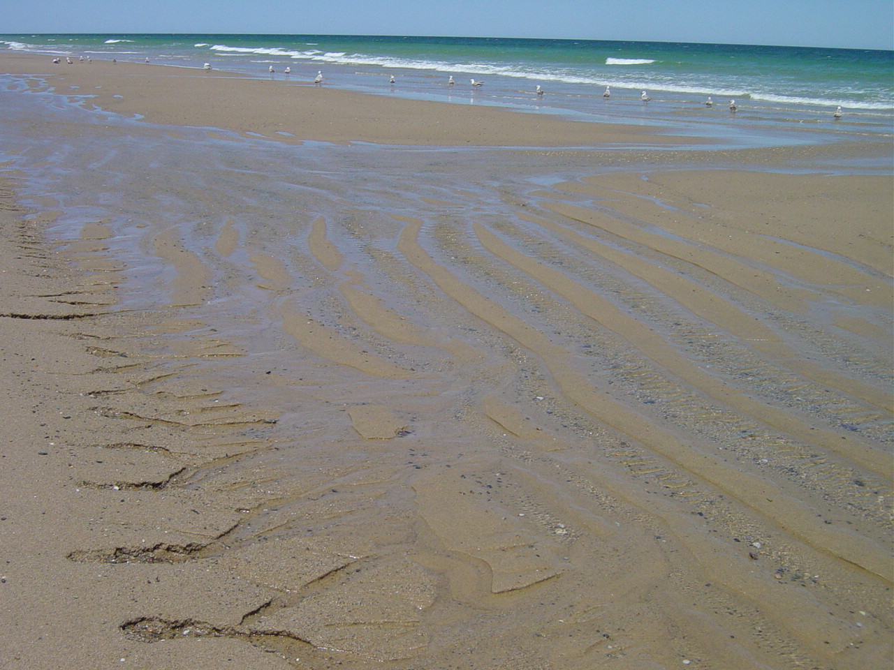
| This is the scene at low tide with an exposed sand bar. Water leaching from the sand creates erosion at water's edge. It is another part of the ocean's constant effort to claim the sand. | ||||
|
||||
| Even grass growing on a relatively stable dune face can't stop the effects of gravity. Here is a cresent-shaped slide. I call this a stable dune because the establishment of grass such as shown here requires a static environment. | ||||
|
||||
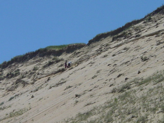
| A young boy and girl climb high onto the dune. They are roughly 75' up. They are part of a large group, the remainder of which were at the base. The challenge of climbing is alluring but they are tempting fate and helping speed the process of erosion. | ||||
|
||||
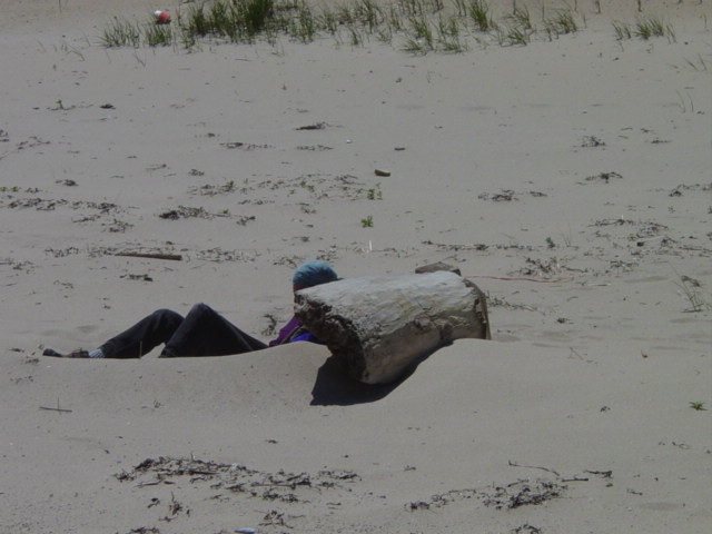
| A solitary soul uses an old log as a wind breack behind which he can quietly read. | ||||
|
||||
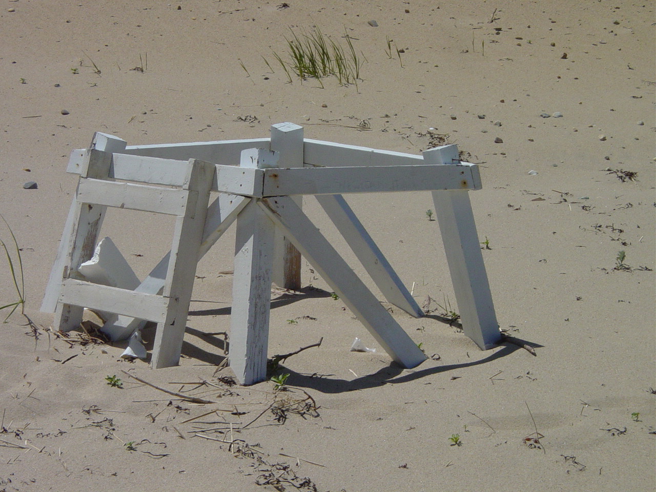
| The remains of this lifeguard chair were seen two miles north of Newcombe - 1.5 miles south of Ballston. With the main current travelling north, chances are this was once a Wellfleet chair. But violent storms could have driven this south from Truro. | ||||
|
||||
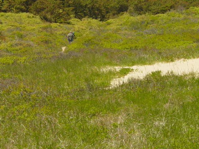
| This was a new find for me (I've never walked this area) - a low spot with a path heading off into the woods. Beachgoers must be careful through here because there are huge patches of poison ivy. | ||||
|
||||
Finally a dip appears in the dune - and houses appear. This is a sure sign that we are close to the end of the walk - Ballston Beach. |
||||
|
||||
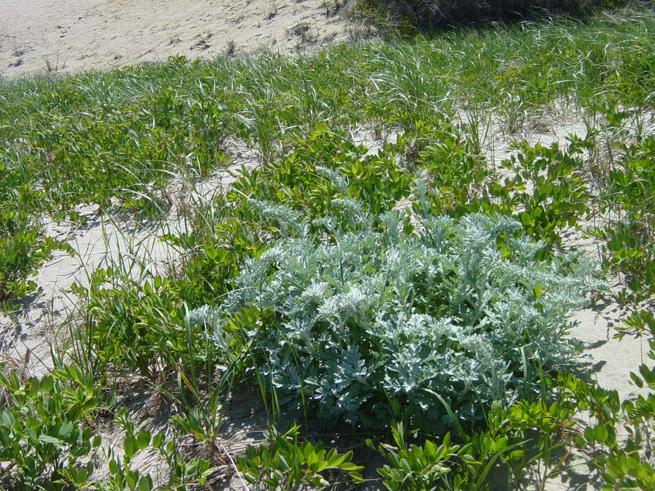
| A variety of plants at the base of the dune. | ||||
|
||||
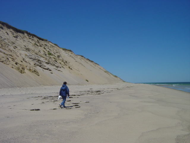
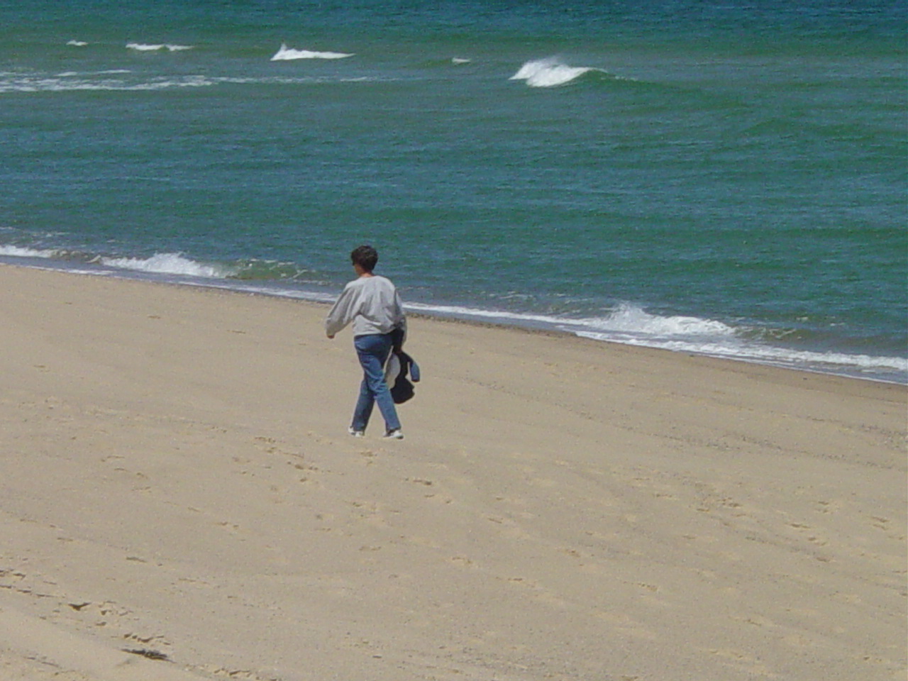
| Arlene continues the trek with the slightest hint of waves in the background. | ||||
|
||||
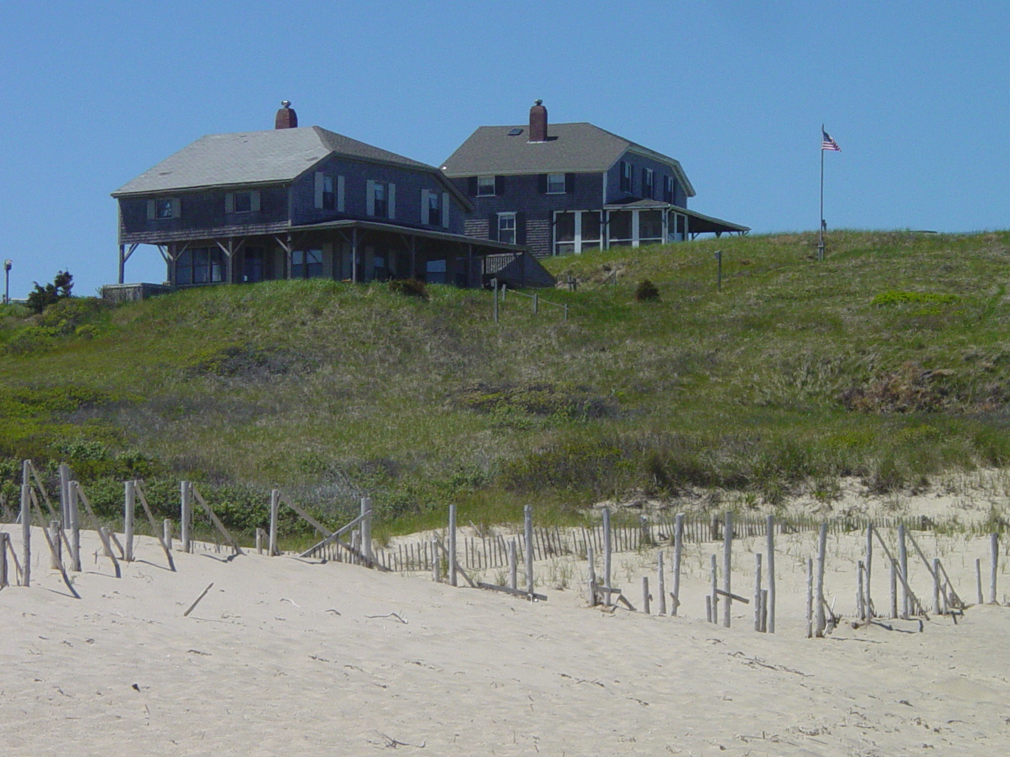
| These houses are on the northern side of the Ballston Beach access. Ex-VP Gore spent a week here in the mid 90's and this beach was virtually closed off. Locals are glad that he never chose to come back - his visit upsetting to the laid back atmosphere that Truro residents treasure. Why he would not choose to return? Who can figure . . . ! | ||||
|
||||
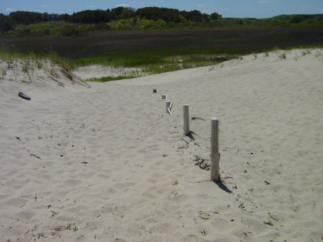
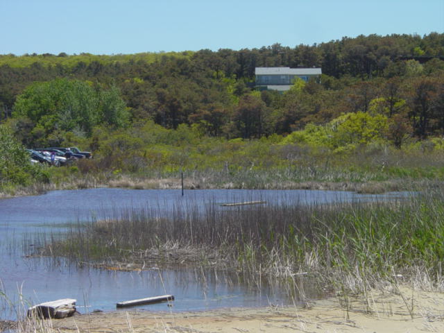
| Beyond this dune are the headwaters of the Pamet River. The river flows west from here and empties into Cape Cod Bay. Besides this spot, Rt. 6 is the only means of access (other than boat) to points north of here. This dune is substantial, but a freak storm (known as the "No Name Storm") that struck at night completely swept it away. Sand and salt water flushed into the Pamet River creating a shock to the ecology. | ||||
|
||||
| Here is a side view. Deep below this dune lies a stretch of road that connected North Pamet Road and South Pamet Road. Even before the storm the migrating dune covered the road and it was eventually closed. During the storm the ocean flowed freely through here and for a brief period turned North Truro and Provincetown into an island. It was late in the year and a resident in a house just south of the break came down for the weekend. He listened to the storm all night but was completely unaware of the destruction occuring so close. He awoke to the startling discovery that his house had been precariously close to being washed away. | ||||
|
||||
| The headwaters of the Pamet are close to the parking lot at the terminus of South Pamet Road. | ||||