July
Beach Walk - Set 2


Return to : Home Beach Walk
| July
Beach Walk - Set 2 |
|
|
|
| Arlene takes a closer look at the clay deposits | |
|
|
| More signs that something is just over the cliff. Here wires, pipes and bricks are exposed in the dune face. | |
|
|
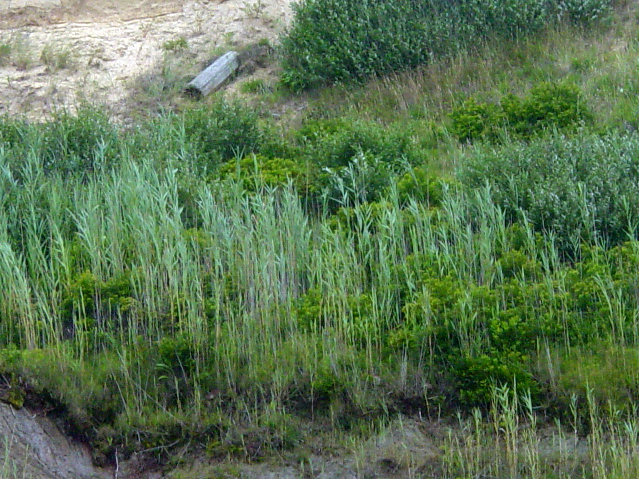
| The presence of phragmites is definately uncommon along the outer beach | |
|
|
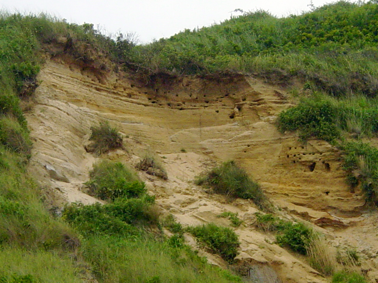
| There are probably birds that dwell within these holes. I'll have to do research to confirm this. | |
|
|
| Just north of Highland Light the homes has a dramatic access to the beach | |
|
|
| Here a point of beach sticks a little farther into the Atlantic. Although the beach commonly undulates, causing beach widths from a few feet to over 50 yards, there is no obvious reason why the beach would come to a point like this. I haven't seen quite this formation at any other spot along the outer beach. | |
|
|
| Another private access just south of Coast Guard Beach, Truro. | |
|
|
| Arlene finds a quiet moment on Coast Guard Beach. I took this picture from the parking area. | |
|
|
| This was a common sign along the entire walk. Many sections of the beach were closed both to foot traffic and 4-wheel drive vehicles. This policy intended to protect fledgling terns is controvertial | |
|
|
| Just north of Coast Guard Beach is Head of the Meadow Beach. One could be seen from the other. | |
|
|
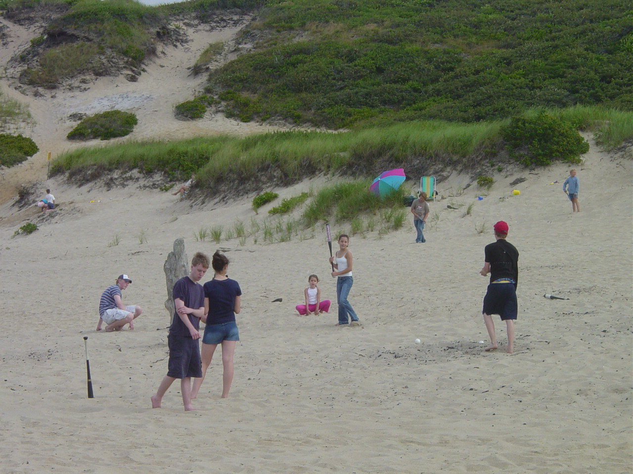
| An inpromptu wiffleball game takes place at Head of the Meadow. | |
|
|
| Signs of lifeguards. | |
|
|
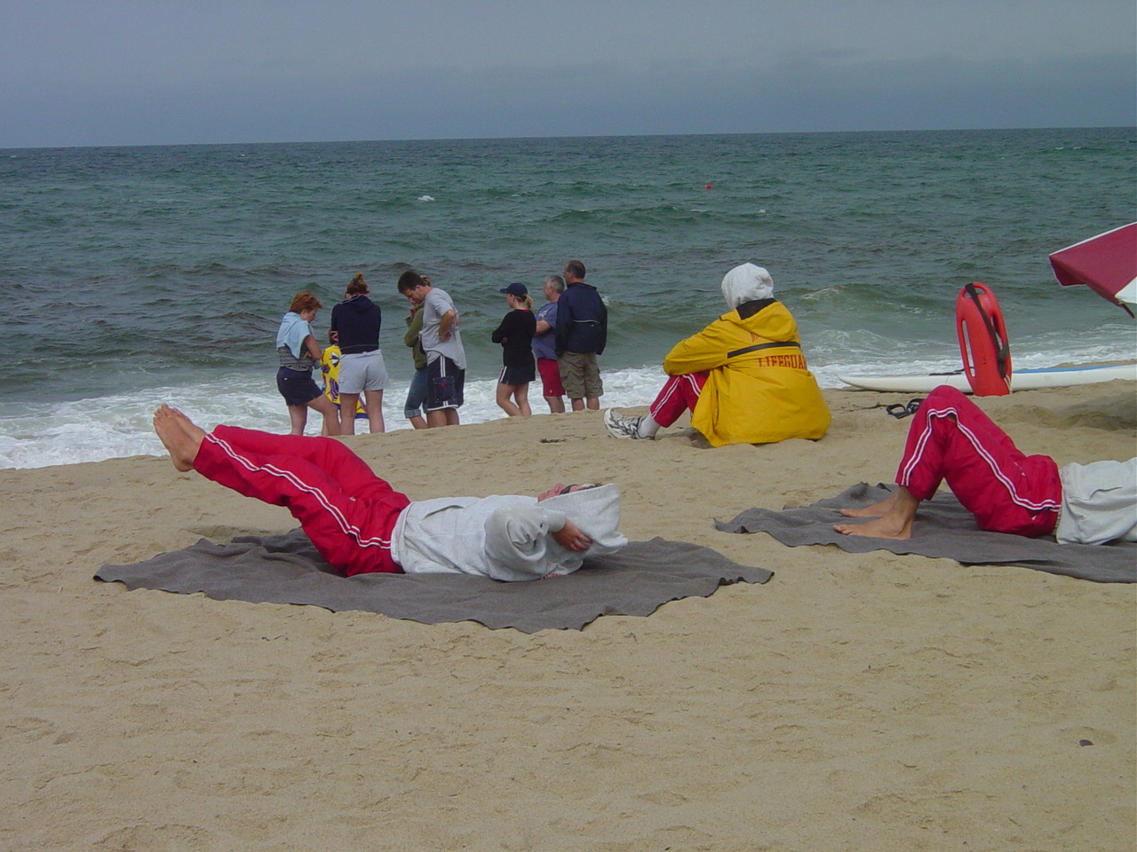
| Lifeguards working on fitness. The Cape Cod lifeguard competition is next week. | |
|
|
| Our one security blanket for this walk. Arlene phones our pick-up ride Emily to tell her we are 3/5 done with up to an hour to go. | |
|
|
| From the northern reaches of Head of the Meadow I looked over the top of the dune and could see a house that marks our exit point from the beach - roughly two miles away. | |
|
|
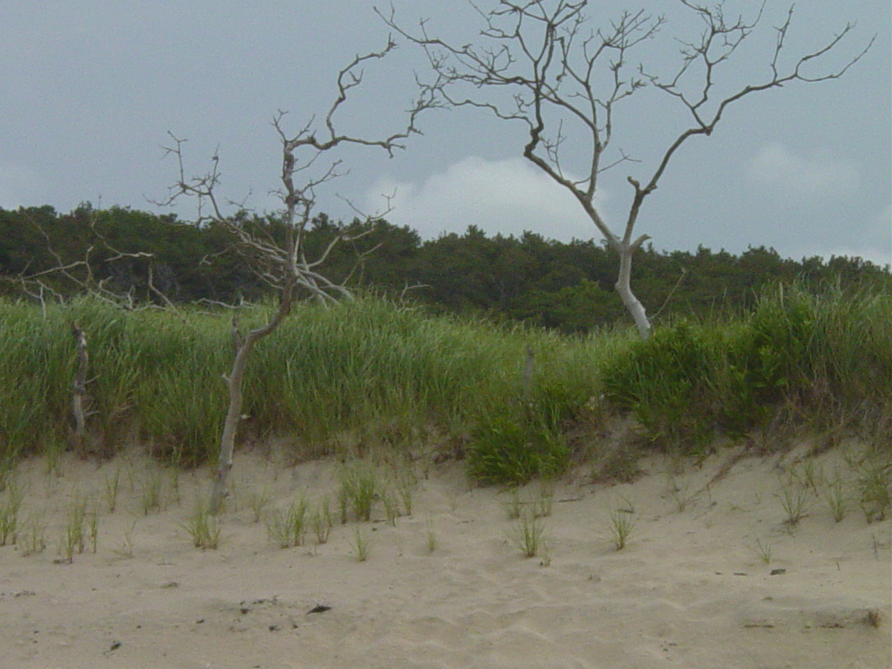
| It is rare to see trees of this size close to the beach. The constant assault by wind and salt punishes any plant that attempts to grow larger than the surrounding ones. How they grew to this height this close to the beach is a mystery, as is how long they have been dead. | |
|
|
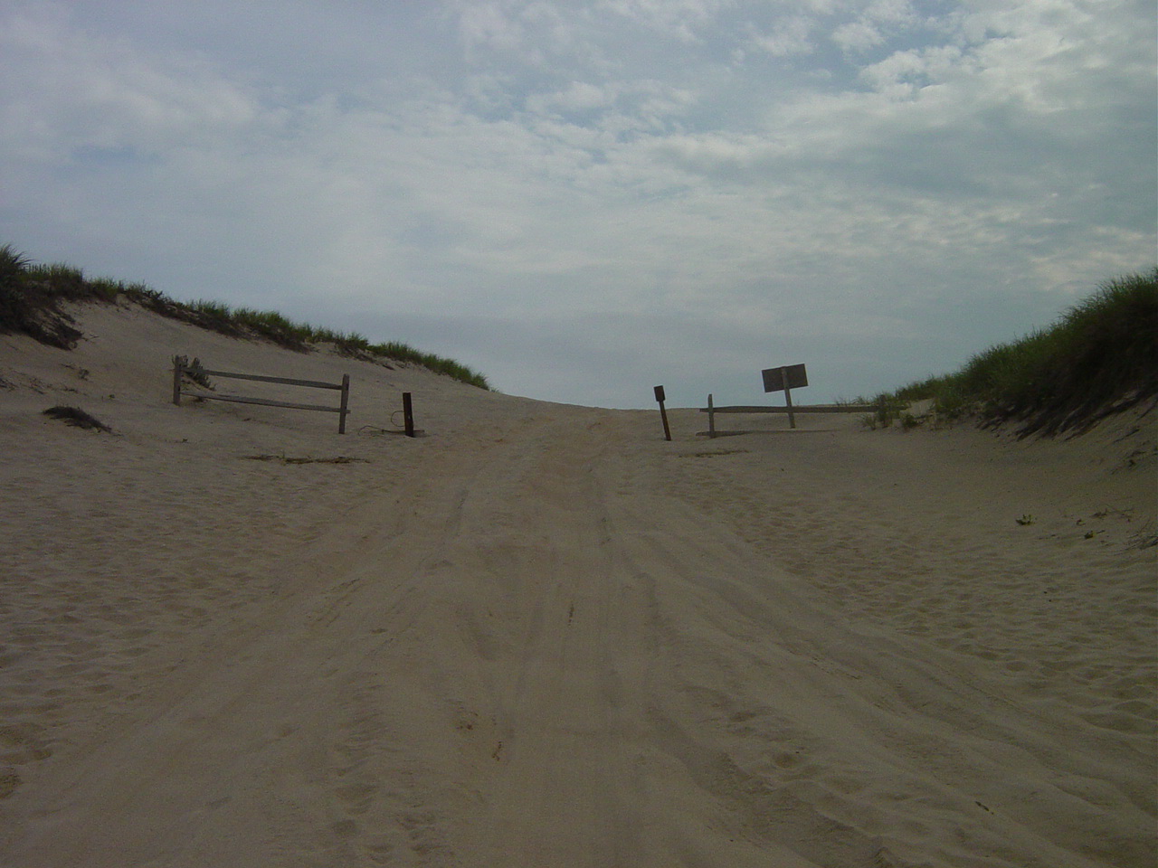
| This makes for a strage sight from the beach. After walking for three miles looking at dunes that were rarely under 75' in height, suddenly the dune face ranges from 10' to 20' tops. | |
|
|
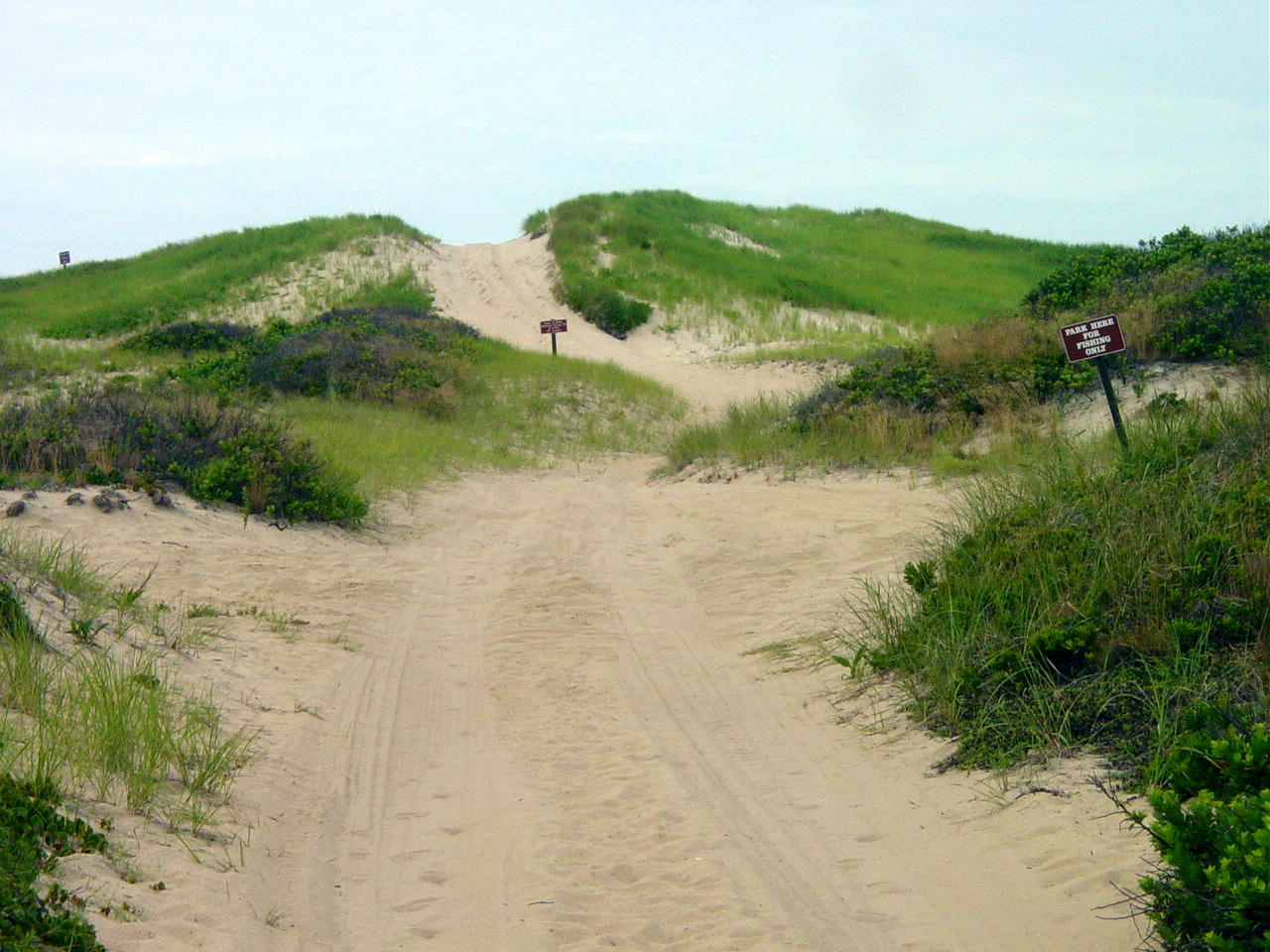
| This would actually be considered a large dune face in this area. The area behind these dunes is low and supports fresh water vegetation. There are no homes in this area thanks to the creation of the National Seashore. | |
|
|
| How this tube got here is anyone's guess. This reminded me of the early 70's when Arlene and I would float in the Atlantic on old inner tubes. | |
|
|
| Signs of 4-wheel drive traffic. Although we are alone at thiks point it is through mere luck. | |
|
|
| Well, not completely alone. | |
|
|
| We started at 2:45 at Longnook and at 5:00 we reach the exit point at High Head. This is the first section I've done entirely barefoot. It would have been nearly impossible on a hot day. Only tomorrow will I know if it was a good idea. | |
|
|
| This is the view as we crest the dune at High Head. That is Pilgrim Lake, houses along 6A and Cape Cod Bay in the far background. We are nearly back to civilization. | |
|
|
| This dirt road leads us back to the bike trail parking lot at High Head where Emily will pick us up. | |
|
|
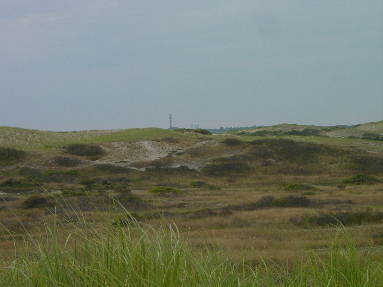
| While off to the north we can see the Pilgrim Monument in Provincetown. Our walk will eventually take us around and past that point. | |
|
|
| One look back toward where we have come from. Although it is technically a five-mile walk, it was not done in a straight line. One can only guess how much extra distance is covered following the undulation of the beach, and exploring the beach line and dune face. Most times the sand is soft and the going is slow. I found the best footing right along the surfline, walking barefoot and letting the waves lap at my feet. Our next section is more daunting. It is a minimum of six miles with a long walk-out through the dunes near "Mount Ararat". If we miss the cutoff point it will be nine miles. We will have to be well-prepared with water and food. I intend to walk much slower - the likelyhood that it will be hotter. | |