December
'04 - Set 2
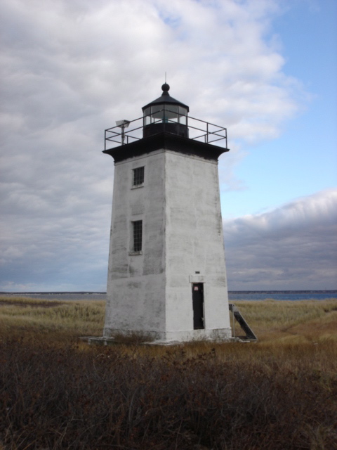
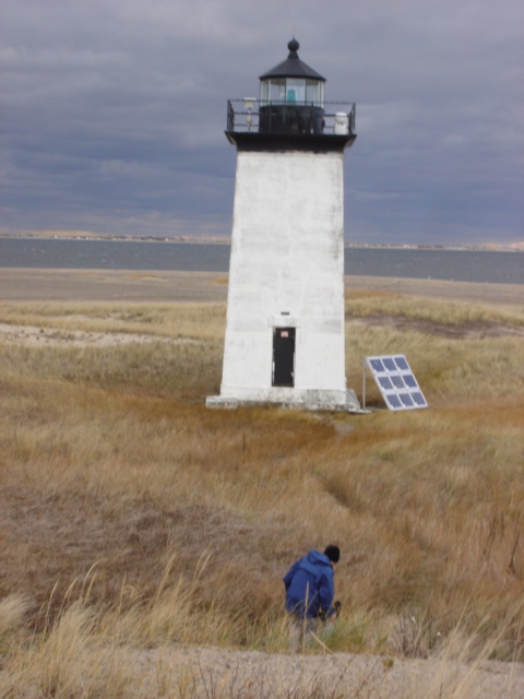
Long
Point Lighthouse
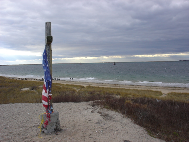
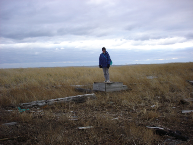
A
memorial set atop the tallest spot on Long Point
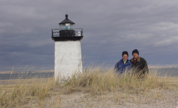
Looking
for a picnic spot
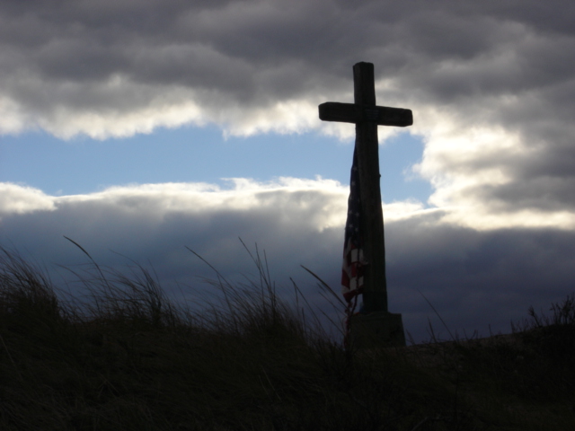
Another
look at the memorial
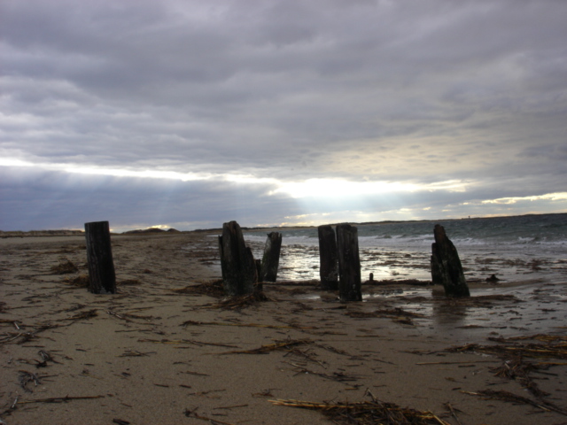
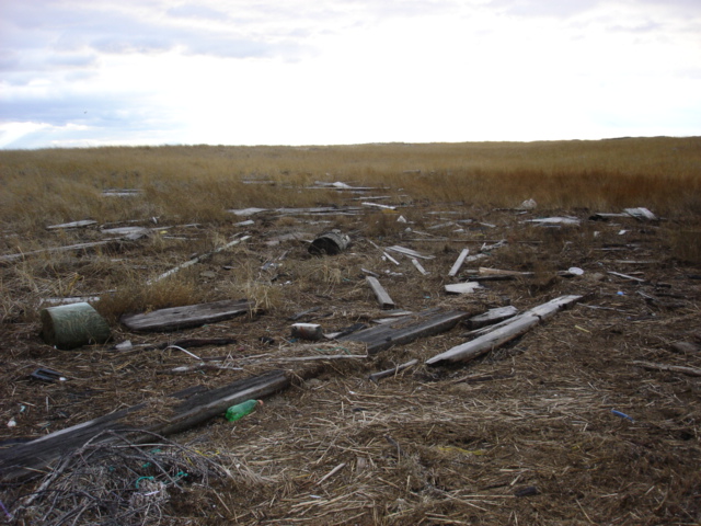
Remains
of an old pier
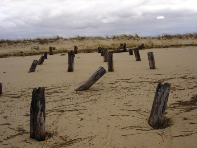
Another
angle
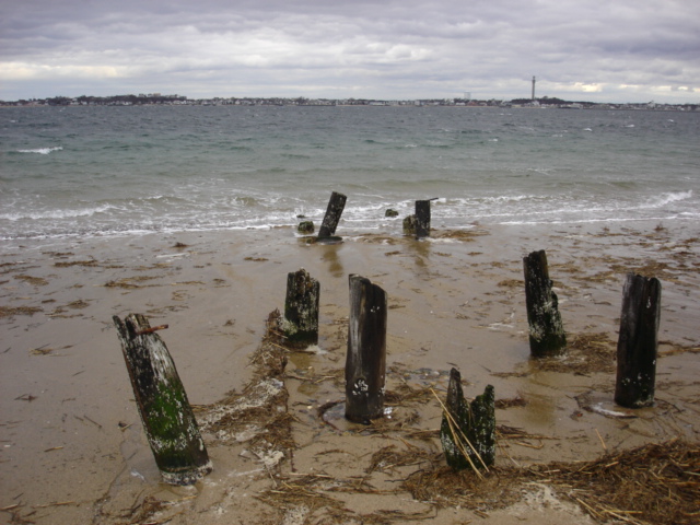
Looking
at the remnants of the pier looking toward PTown
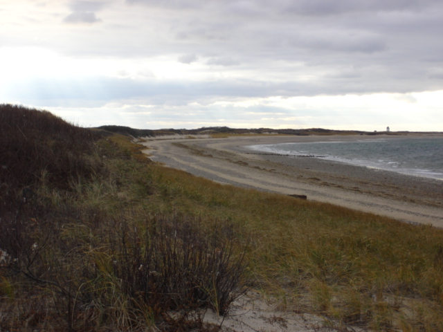
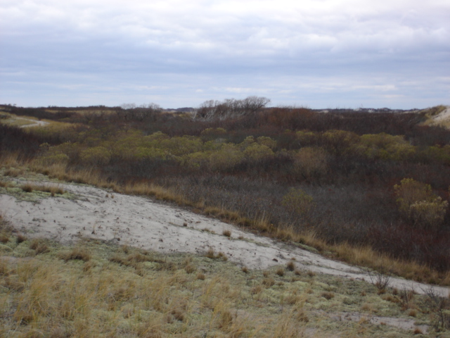
We
took the path back along the inside shore. Our destination is the breakwater
that starts near Wood End Lighthouse in the distance.
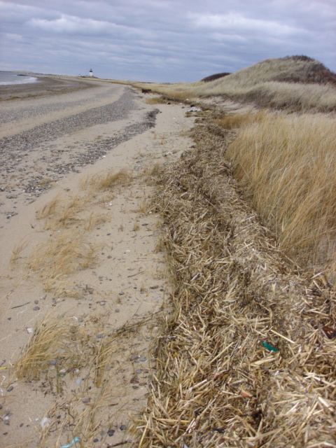
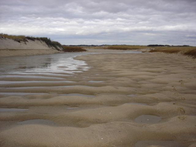
This
time of year the wrack line gets deep with salt marsh hay. It is easy
to find the high tide line.
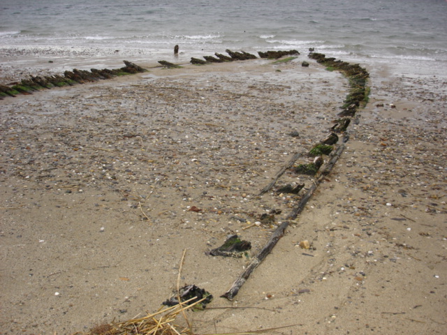
We
came across this remnant of an old wooden boat.
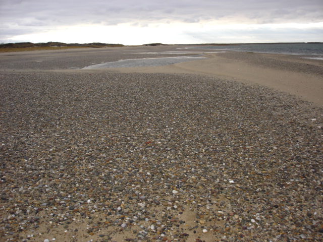
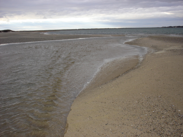
Though the way back to the breakwater looked clear, we ran into this river running out of the dunes. I wasn't totally surprised since I had seen an inland low area on a map. But I incorrectly surmised that at this tide we might not have a problem.
Though
at some spots it wasn't more than a foot deep, rather than remove our
shoes and ford it we decided to backtrack and walk around it. In warmer
months we would have crossed it barefoot. I offered to carry Arlene across
but she didn't take me up on the offer. Well, at least I tried. Going
around would eventually add nearly an 1/2 hour to the walk. But it also
showed us some new areas we were unaware of.
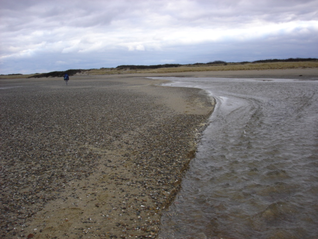
Circumventing
this inland creek brought us back to the outer beach.
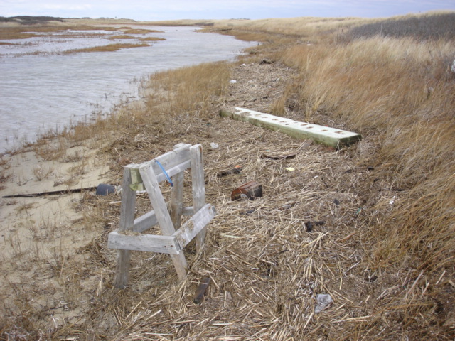
There
was plenty of debris that washed its way into this marsh. Here was a sawhorse
with a fishing lure attached.
Arlene
found these steps.
This
was a driftwood graveyard.
Cutting
back to the breakwater we found this low area with some good sized trees.
Quite a surprise for this barren area.
We
still have a ways to go.
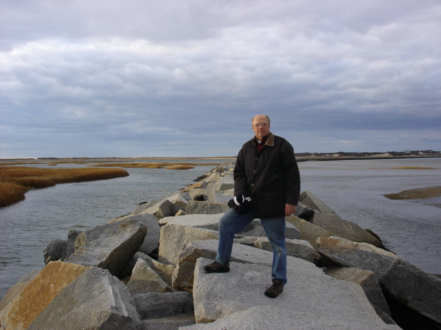
Finally
back to the breakwater.
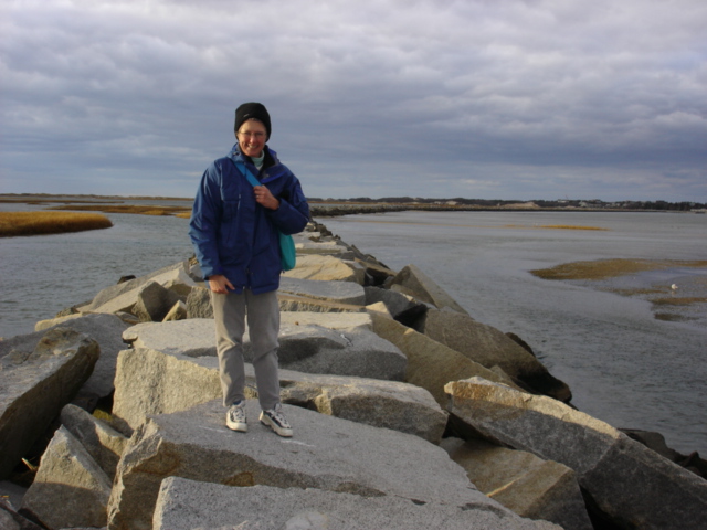
You
can tell how much lower the tide is. Although there were still some slippery
rocks there was little chance of getting wet.
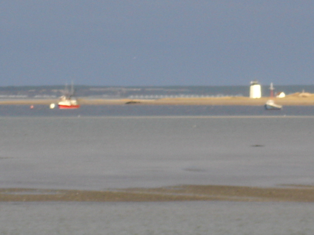
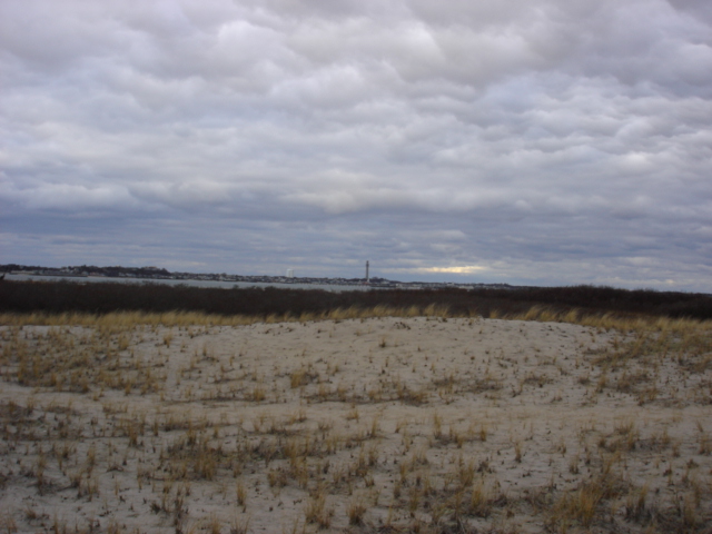
Too
bad this didn't come out better. It is taken from the breakwater and shows
fishing boats, Long Point Lighthouse and Day's Cottages in the distance.